


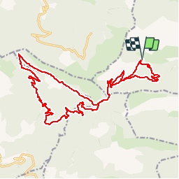


22 km | 34 km-effort

Les Hautes Alpes à découvrir ! GUIDE+


FREE GPS app for hiking
 SityTrail
IGN / Geographical institutes
SityTrail World
The world is yours!
Trail Mountain bike of 25 km to be discovered at Provence-Alpes-Côte d'Azur, Hautes-Alpes, La Piarre. This trail is proposed by Camping Les Rives du Lac.
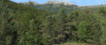
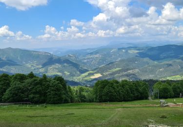
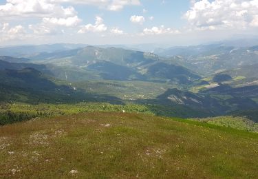
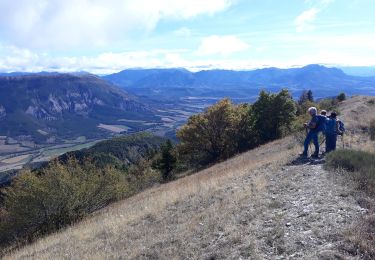
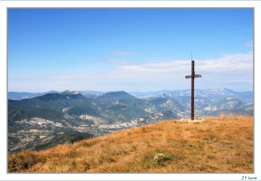
Technical hike, offering magnificent views.
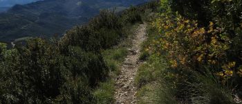
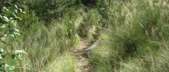
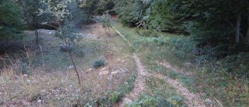
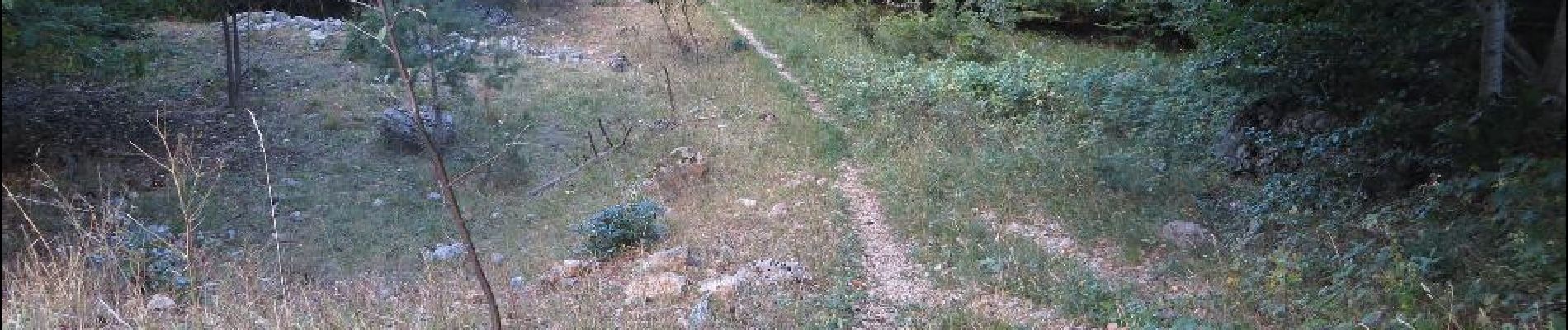
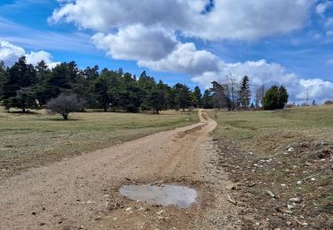
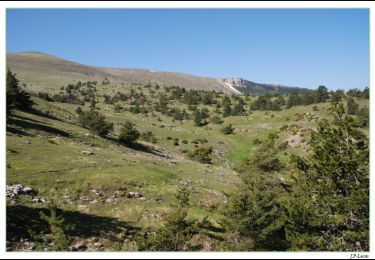
Rise quite pleasant from the hamlet of Vissac, then long single track balconies, superb. Then technical descent before joining a forest road to go back to the Col d'Arron. Beautiful single track to complete the circuit.


Mountain bike

Walking
Walking
Walking
Walking
Walking

Walking
Walking
Walking